AI Drones for Wildlife Conservation: Autonomous Biodiversity Guardians
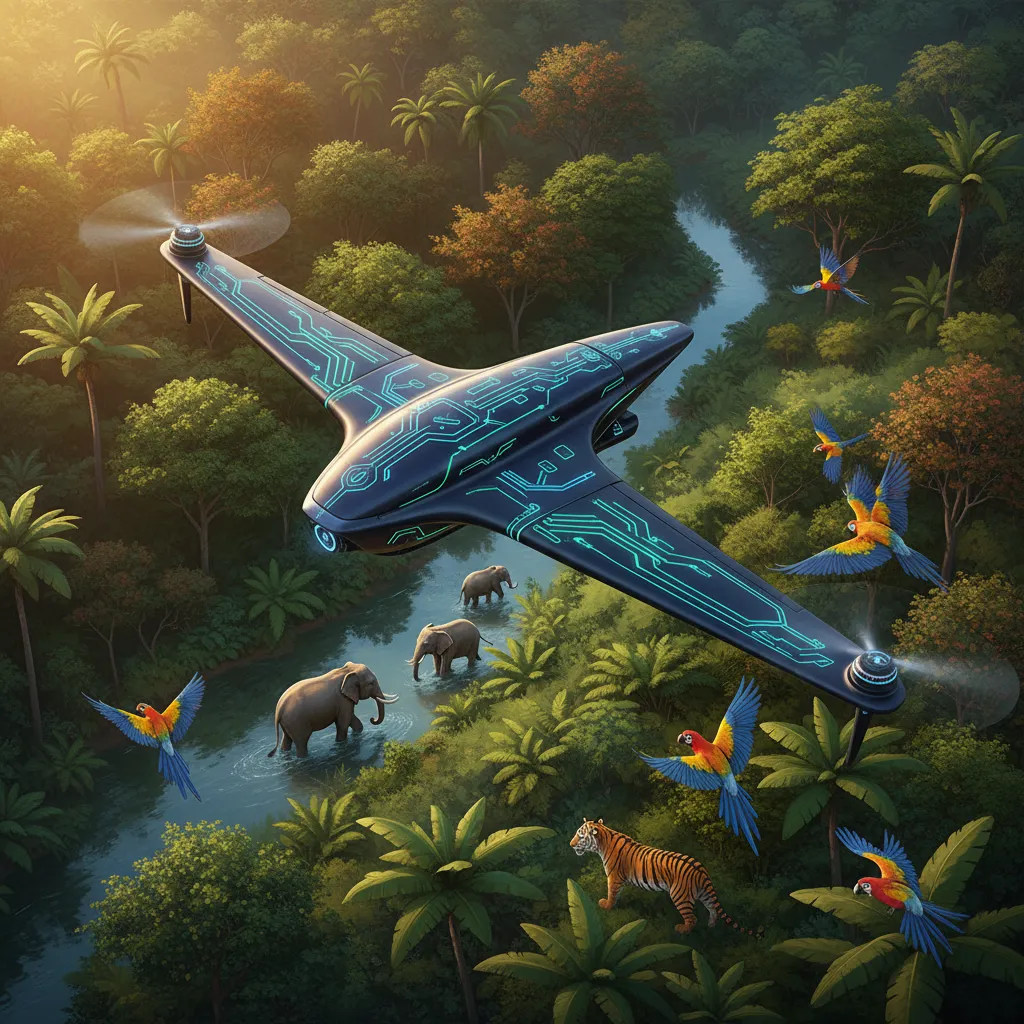
Across Earth’s national parks, rainforests, and marine reserves, park rangers and conservation biologists face a daunting challenge: monitoring millions of square miles of rugged wilderness against organized poachers and habitat loss.
Autonomous AI conservation drones provide a transformative aerial shield—combining long-range flight capabilities with thermal night vision and real-time computer vision to protect endangered species 24/7.
[!NOTE] What is AI-Driven Wildlife Conservation? AI-driven wildlife conservation is the integration of autonomous unmanned aerial vehicles (UAVs), thermal infrared sensors, and edge neural networks to detect illegal poaching threats, conduct accurate species censuses, and map forest canopy health without human physical presence.
⚖️ Manual Ground Patrols vs. Autonomous AI Conservation Drones
| Conservation Factor | Traditional Ground Foot Patrols | Autonomous AI Conservation Drones | Protection Advantage |
|---|---|---|---|
| Coverage Area | 10–15 km per ranger daily | 200+ square km per autonomous flight | 20x wider wilderness visibility |
| Nighttime Anti-Poaching | Extreme danger & zero visibility for rangers | High-resolution thermal infrared night vision | Stops 95%+ of nighttime poaching |
| Species Census Speed | Months of manual foot & helicopter counts | Hours via automated aerial neural classification | 100% accurate count data |
| Ranger Safety | High risk of armed poacher ambushes | Remote drone dispatch & GPS coordinate routing | Keeps human rangers safe |
| Operating Cost | Expensive manned helicopter fuel & maintenance | Low-cost solar battery charging stations | Sustainable long-term deployment |
🦅 The 4 Aerial Frontlines of Biodiversity Protection
Conservation Telemetry Grid:
Aerial Thermal Scanning ──► Edge Neural Detection ──► Instant GPS Ranger Alert ──► Field Interception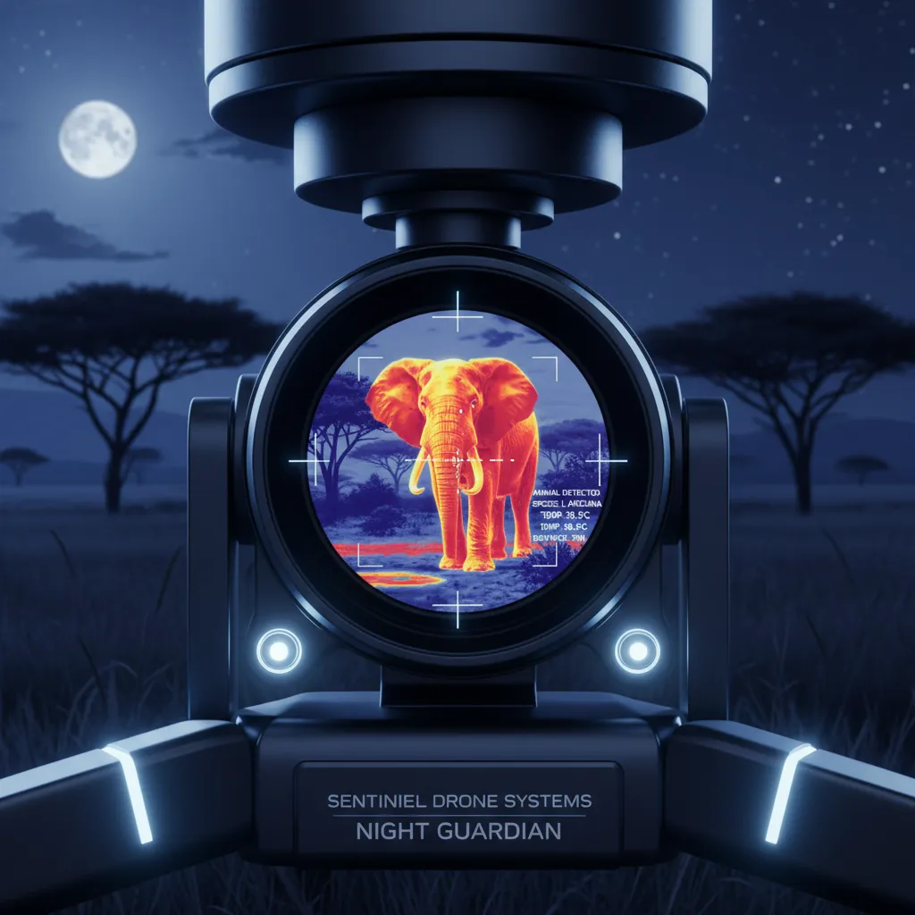
1. Thermal Night Vision & Anti-Poaching Interception
Because illegal poaching occurs primarily under cover of darkness, autonomous drones deploy thermal sensors that detect human body heat concealed beneath thick savanna brush, transmitting coordinates to ranger units in seconds.

2. Predictive Habitat & Migration Analytics
Neural networks map seasonal elephant and tiger migration corridors, predicting human-wildlife encounters and allowing communities to deploy non-lethal acoustic deterrents before conflicts arise.
For ethical tourism practices that support wildlife economies, explore our guide on Adventure Travel & Responsible Exploration.
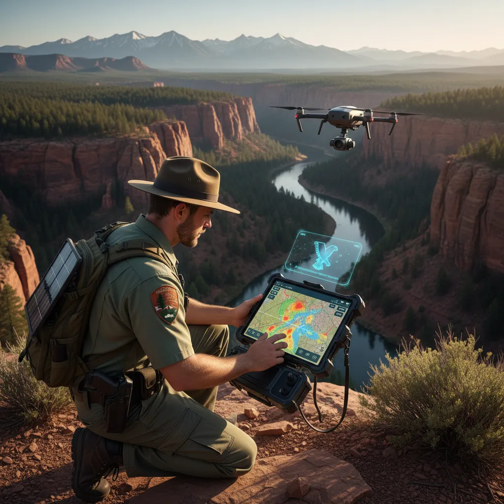
3. Field Ranger Empowerment & Mobile Telemetry
Park rangers use ruggedized tablets to command autonomous flight paths and receive instant video feeds, multiplying the defensive effectiveness of small conservation teams.
4. Peaceful Coexistence & Marine Conservation
Beyond terrestrial parks, AI drones monitor marine sanctuaries—tracking illegal commercial fishing vessels and counting nesting sea turtle populations along remote coastlines.
For related insights on how autonomous robotics operate in deep-sea and extreme terrains, read AI Autonomous Robots in Extreme Environments.
🚀 3 Conservation Technologies Pioneering 2026
- Deploy Edge-Computed Neural Drones: Run computer vision models directly onboard the drone chip to eliminate satellite communication latency.
- Install Solar-Powered Autonomous Docks: Establish self-charging automated drone nests across national park perimeters for continuous patrols.
- Engage Citizen Science Platforms: Feed anonymized drone imagery into global conservation databases to allow global researchers to track population recoveries.